
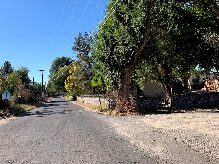
Active Projects
Active Projects & Public Involvement Opportunities
The NMDOT works on hundreds of projects across the state. The interactive mapping application below contains information about projects that are in various stages of development, including the study scoping, design, and construction phases. By selecting a project in the directory or by location on the map, you can learn more details about a project underway in your community.
The NMDOT offers many opportunities for citizens to learn about and to share comments on transportation projects and issues. For details on a particular meeting, please contact the NMDOT District Office nearest the location or visit the Public Involvement Calendar.
The Department of Transportation is soliciting applications for Planning Funds to be used along the I-10 and I-40 corridors. Click here for more info!
NMDOT Transportation Districts
Public Involvement Portal and Toolkit
Highlighted Projects and Programs
UPCOMING PUBLIC MEETINGS AND EVENTS
Interactive Active Projects Map
Study and Design Phase Projects
Blue icons on the map indicate the projects in the Study and Design Phase.
Construction Phase Projects
Orange icons on the map indicate the projects in the Construction Phase.
To Zoom In On The Map
Click and hold the left mouse button and use the scroll wheel.
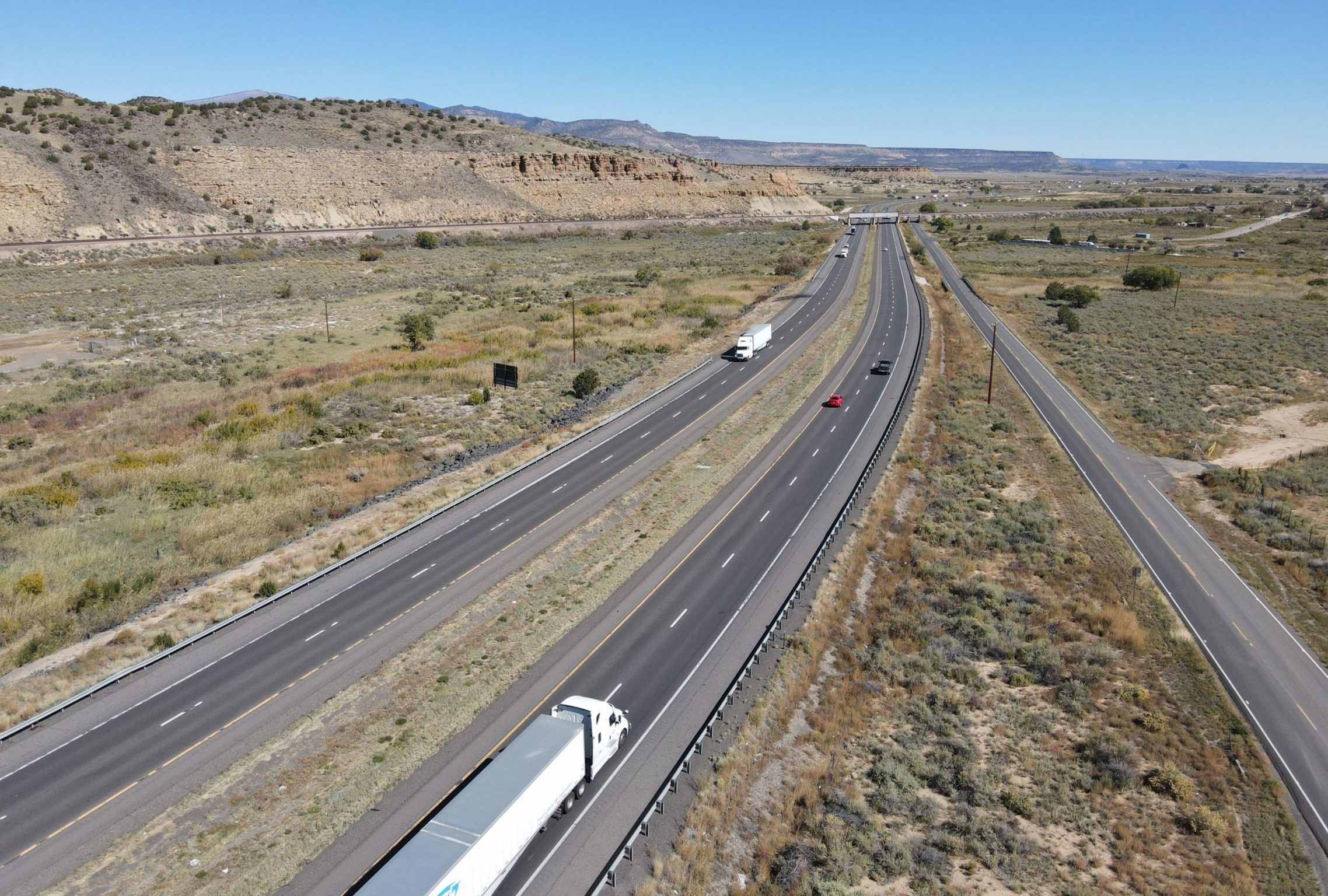
Building a Road Takes Time
The development of transportation projects is a multi-phased, multi-year process that involves a significant commitment of technical and financial resources. Project development involves six major phases including (1) long-range planning, (2) prioritization and programming, (3) study scoping and conceptual design (4) preliminary and final design, (5) construction, and (6) maintenance and performance monitoring.

- 1. LONG-RANGE PLANNING
- 2. PRIORIORITIZATION and PROGRAMMING
- 3. STUDY SCOPING and CONCEPTUAL DESIGN
- 4. PRELIMINARY and FINAL DESIGN
- 5. PROJECT CONSTRUCTION
- 6. MAINTENANCE and PERFORMANCE MONITORING
1. LONG-RANGE PLANNING serves to establish long-range goals, objectives, and system needs at the statewide, regional, or metropolitan planning area level. By federal law, states must develop and adopt a Long-Range Statewide Transportation Plan (LRSTP) that identifies transportation needs at least 20 years into the future. The LRSTP is developed in cooperation with regional transportation planning organizations and metropolitan planning organizations (MPOs) in New Mexico. The LRSTP address the movement of people and goods throughout New Mexico, and it provides a strategic framework to guide transportation decision-making in New Mexico.
2. PRIORIORITIZATION and PROGRAMMING is a collaborative effort involving the state, local jurisdictions, and implementing agencies. It is the process by which near-term transportation needs are identified and prioritized, and funding is allocated. At the statewide level, the NMDOT’s Statewide Transportation Improvement Program (STIP) provides a listing of prioritized and funded projects over a four-year period (as well as two additional years of unfunded projects). Although by federal law, transportation programs must be updated at least every four years, the NMDOT practice is to update the STIP every two years.
3. STUDY SCOPING and CONCEPTUAL DESIGN is the process whereby the improvement needs identified in the transportation improvement program are defined, the level of effort is determined, and improvement alternatives are developed and evaluated. This process establishes the “design concept and scope” for the proposed action and obtains authorization for federal funding. Project scoping and conceptual design are accomplished by performing a location study. While the type of study may vary, the general approach is the same such as development of a project purpose and need; development of alternatives; assessing environmental, social, and cultural effects; coordinating with stakeholder agencies; and conducting public outreach. A study is part of Phase I of the NMDOT project development process in three distinct phases commonly referred to as Phase IA, IB, and IC. Phase IA and IB serve to develop, evaluate, and refine the range of possible alternatives to achieve the need for an action. Phase IC involves preparation of an environmental document and subsequent processing in accordance with the National Environmental Policy Act.
4. PRELIMINARY and FINAL DESIGN involves the preparation of detailed plans, specifications, and estimates that will be used for project construction. Preliminary design is considered Phase ID in the project development process. Final design is Phase II. The last stage of final design is called Plans, Specifications, and Estimates (PS&E), which are the plans used by construction contractors to bid on and construct projects.
5. PROJECT CONSTRUCTION is considered Phase III of the project development process. It involves construction of the authorized improvements and final inspection of the completed project before it is opened for public use.
6. MAINTENANCE and PERFORMANCE MONITORING – the project development process continues even after a completed project is opened for public use. Periodic maintenance of the facility is necessary to maintain the roadway and right-of-way and to keep the facility in safe operating condition. Monitoring of the facility is important to track changes in traffic volume, vehicle classification, travel speeds, accident rates, and other factors. Monitoring data serves to identify emerging needs and is used as input to long-range planning and prioritization programming.
Highlighted Projects and Programs
Status: Study & Design
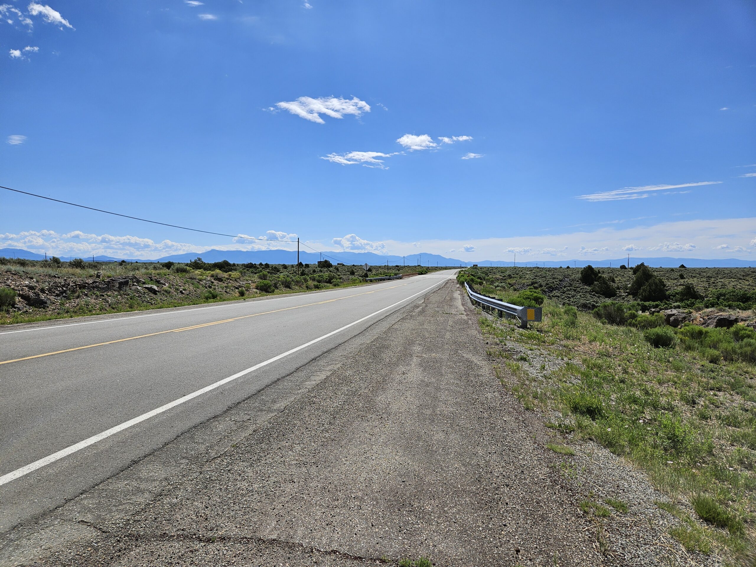
US 64 Phase 1 A/B Study (CN 5101660) – The purpose of the study is to evaluate a 27-mile stretch of US 64 in Taos County, New Mexico, for safety, access, and roadway conditions.
Status: Study & Design
I-40 Manuelito Interchange Study (CN 6101600) – The purpose of the study is to evaluate the existing conditions and develop alternatives that can address improvement needs in the area.
Status: Study & Design
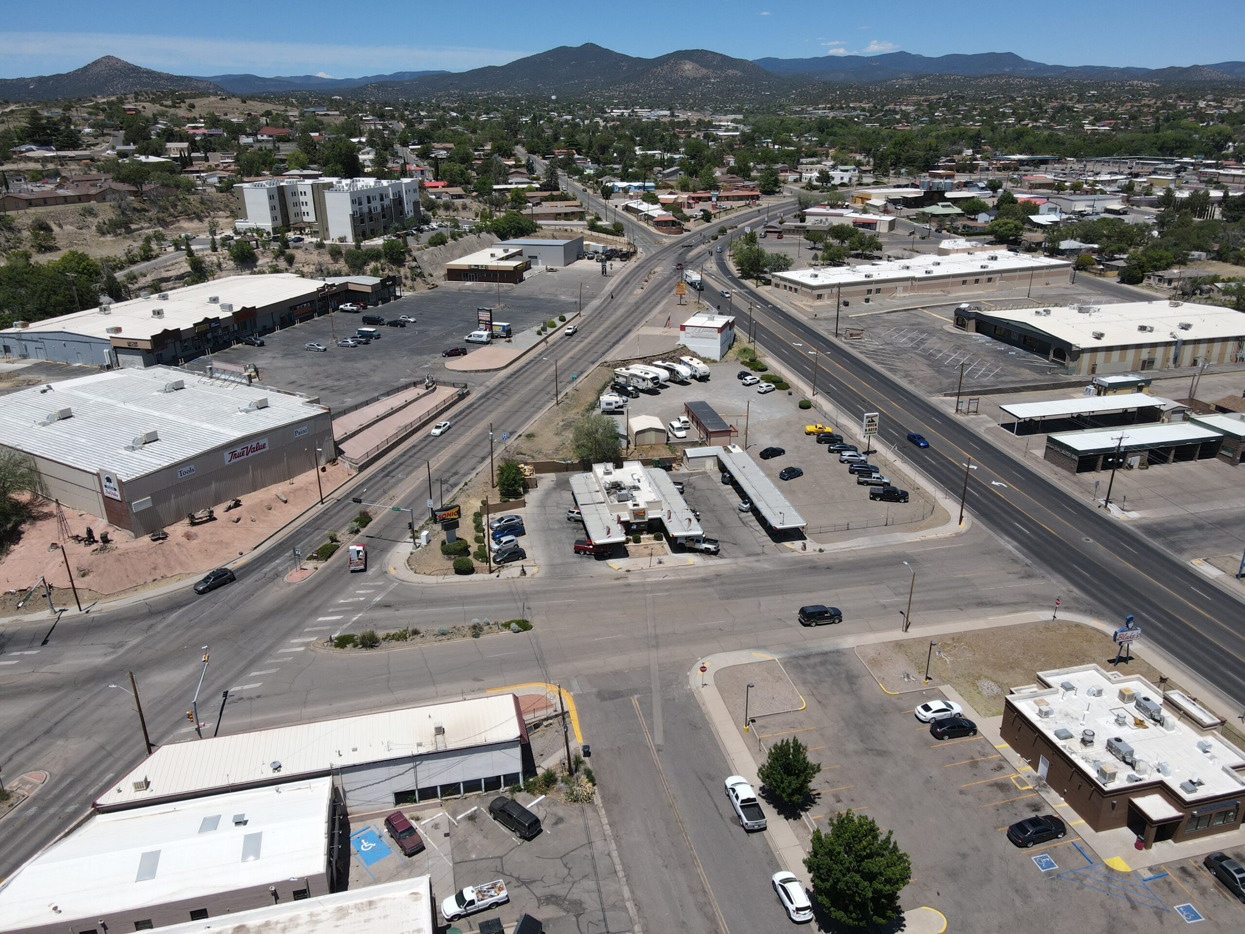
NM 4 Study: Rover Blvd to NM 502 (CN 5101620) – A study of NM 4 from Rover Boulevard to the NM 502 interchange is underway. It focuses on evaluating current roadway conditions and traffic operations to identify practical, cost-effective improvements. The goal is to enhance safety, mobility, and reliability for all users.
Status: Design
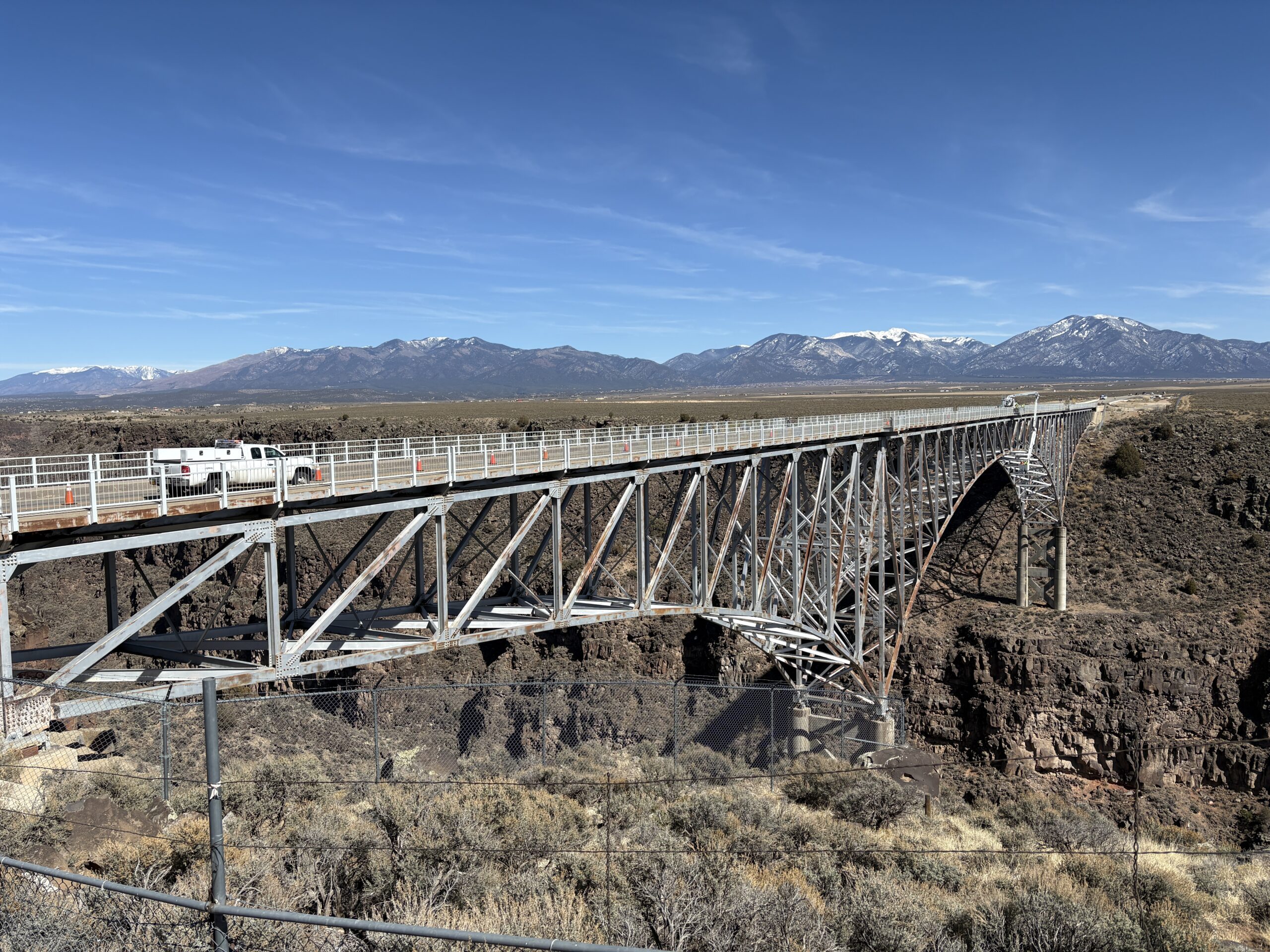
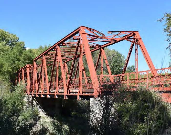
Raise the Rails Project (CN 5102000) – A project is underway to deter future tragedies on the Rio Grande Gorge Bridge, reflecting a strong commitment to public safety and community well-being.
Status: Study & Design
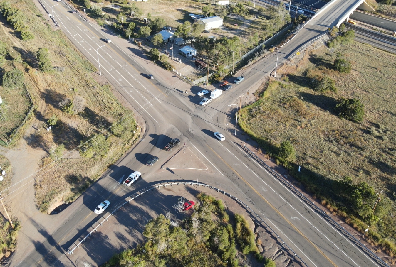
NM 333 & NM 217 Intersection Safety Improvement Project (CN A312290) – NMDOT is advancing a Safety Improvement Project at the NM 333 & NM 217 intersection West of Edgewood to address longstanding safety and congestion issues. Following an evaluation of improvement alternatives, a single‑lane roundabout is being considered as the preferred solution.
Status: Study & Design
US 180 Silver City Safety Scoping Project (CN 1102290) – NMDOT is assessing US 180 between Silver City and Bayard to identify safety hazards for motorists, bicyclists, and pedestrians. The project, part of the Target Zero initiative and funded by HSIP, will develop improvements that reduce crashes and enhance traffic safety.
Status: Study & Design
US 180 Gila Stream Restoration & Resiliency Study (CN 1102220) – The purpose of this study is to improve the long-term safety and resilience of U.S. Highway 180 where it crosses the Gila River near Cliff, New Mexico.
Status: Study & Design
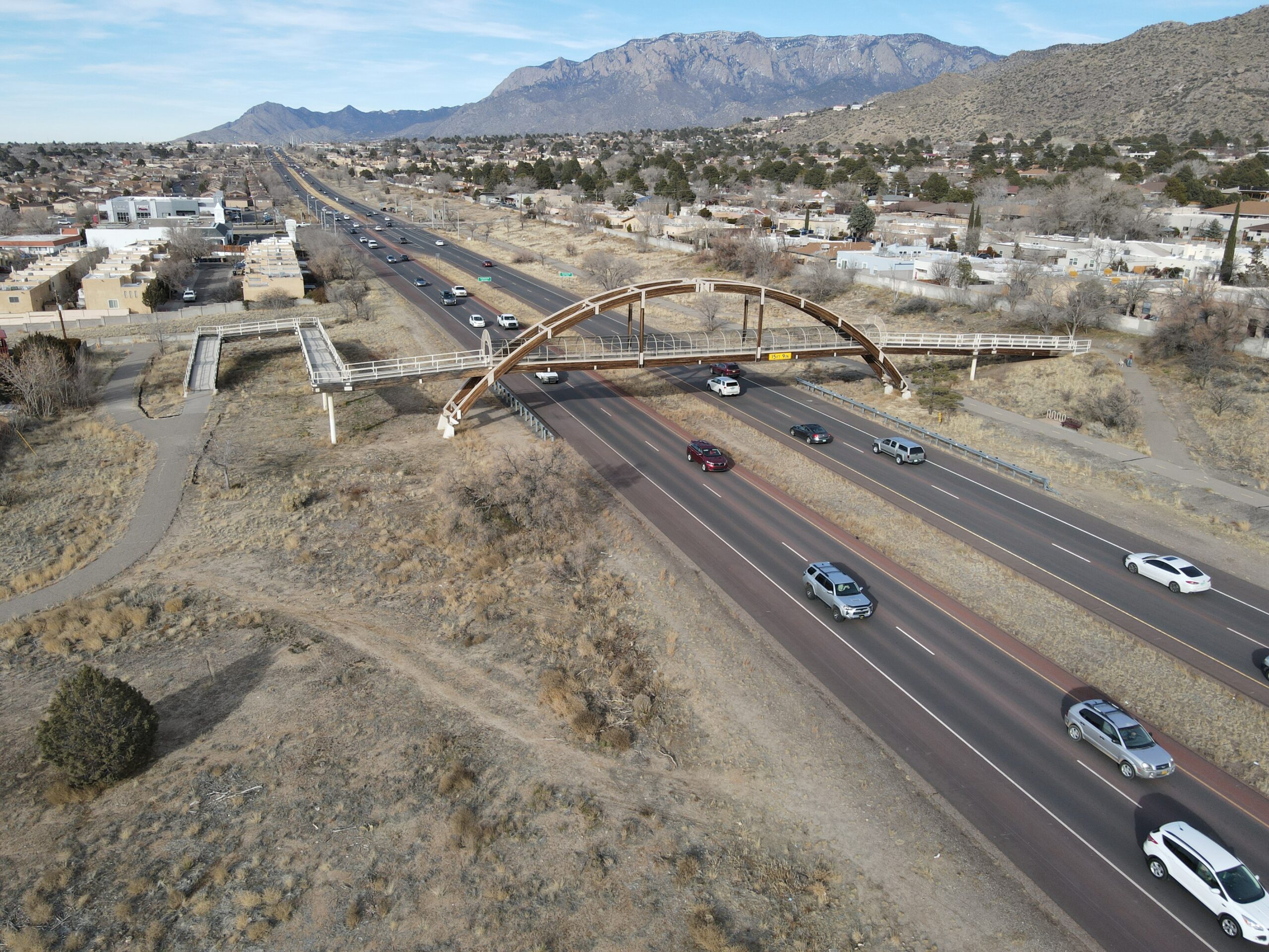
Phase 1-A/B NM 566 (Tramway) Study – The purpose of this study is to evaluate traffic signals, intersection flow, speed conditions, and existing intersection geometry along Tramway Blvd NE.
Status: Study & Design
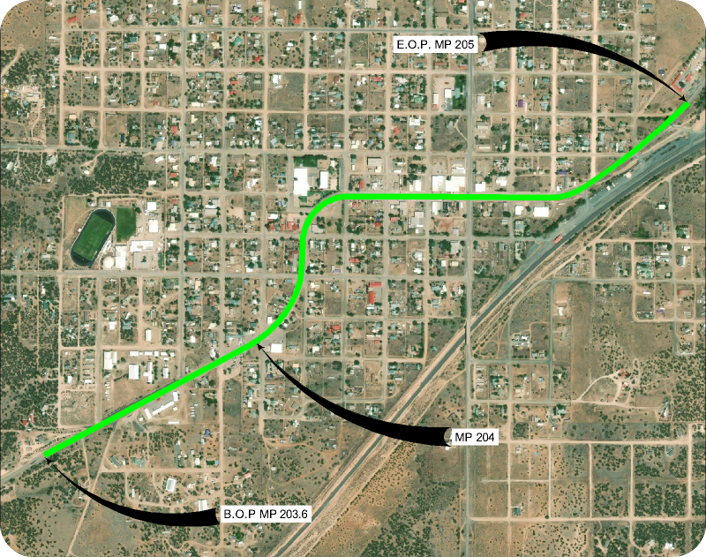
Grand Avenue Alignment Study – (CN 4101960) NMDOT is conducting an Alignment Study to evaluate potential improvements along a portion of Grand Avenue (Business Loop‑15P) in Las Vegas, NM. This planning effort aims to identify feasible alternatives that enhance safety, mobility, and overall corridor function.
Status: Study & Design
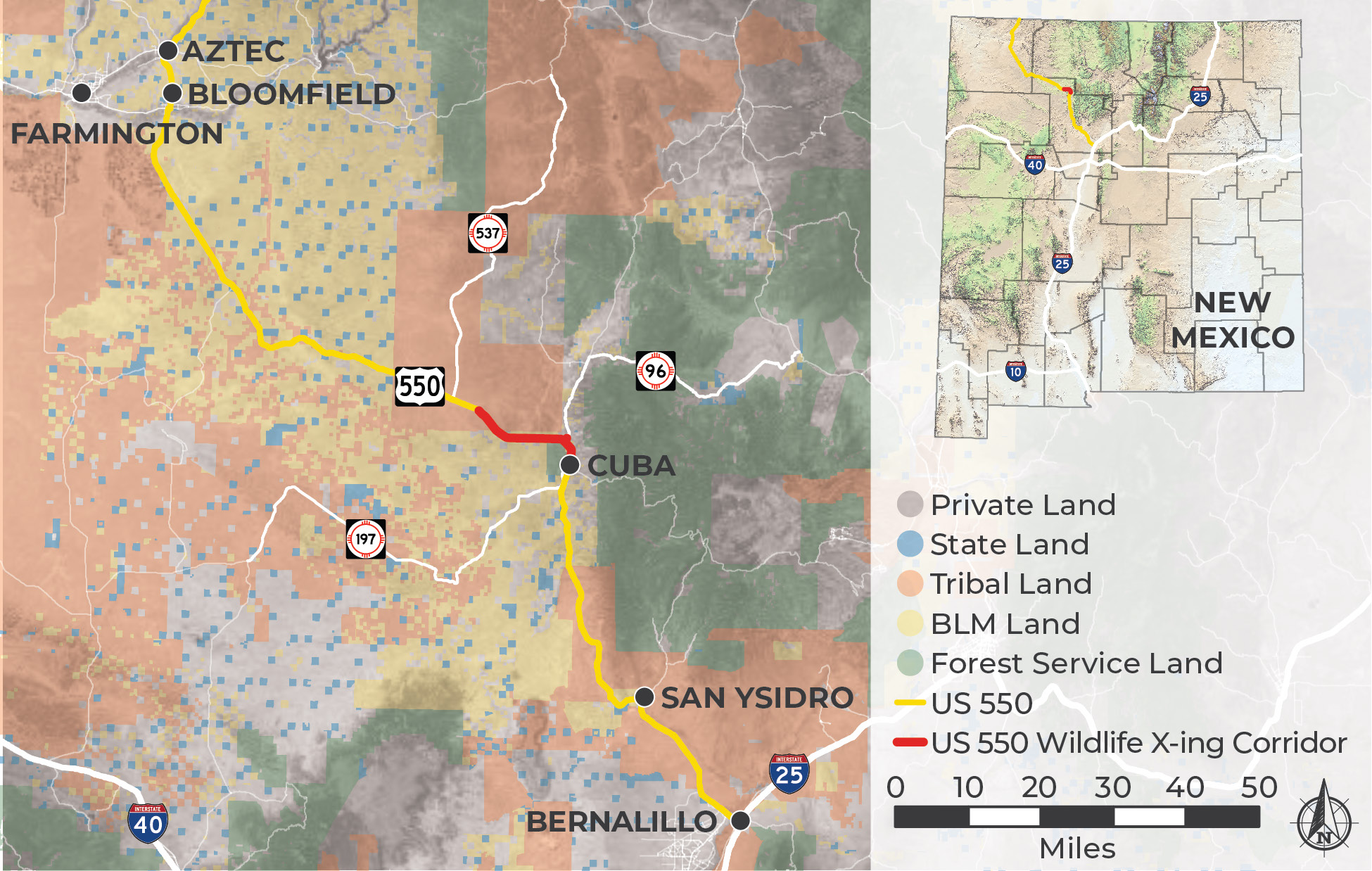
US 550 Wildlife Crossing Project (CN 9901210) – This project aims to improve connectivity for wildlife habitats along a 16-mile segment of US 550. The project is divided into four phases, and currently, Phases 1 and 2 are in the design development stage.

Status: Study & Design
Big I Operations Improvements Study (I-40 & I-25 Interchange (CN A302371) – The goal of this study is to evaluate the operational and safety issues on the Big I (I-40 and I-25 interchange) and to develop recommendations for improvement at this interchange.
Status: Study & Design
I-40 Miyamura Interchange Study (CN 6101320) – The purpose of the study is to address deficiencies by improving traffic operations and safety of the interchange.
Status: Study & Design
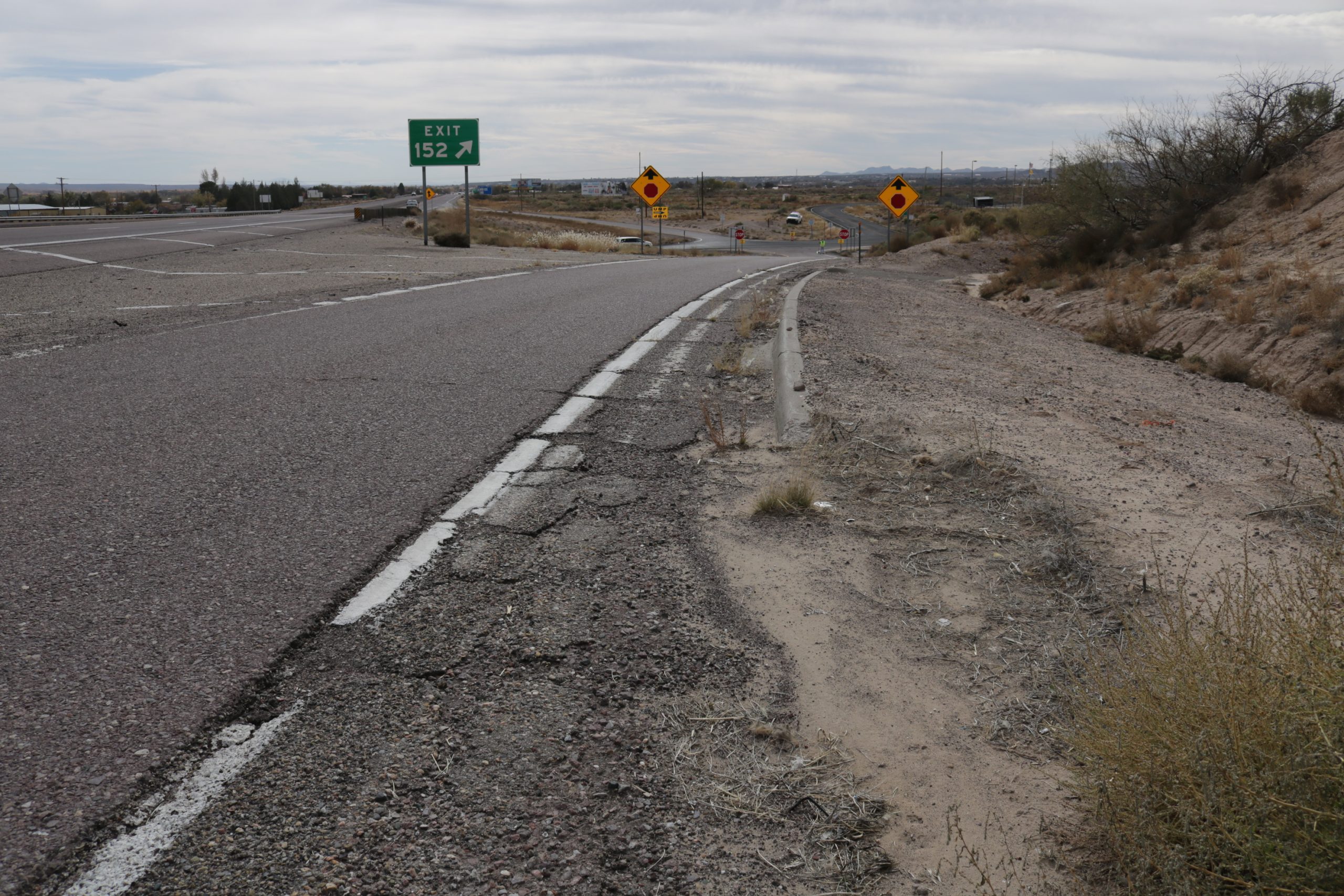
I-25 Escondida Interchange Study (CN 1102030) – The NMDOT is conducting a study to evaluate the interchange in Escondida (I-25 Exit 152). This study will analyze various alternatives and analyze the possible extension of frontage roads 2039 and 2040 to the Escondida interchange.

Status: Study & Design
Border Highway Connector Study (NM 139) (CN E100390) – The study phase has been completed and preliminary design development is underway for an alignment identified for a new east/west corridor between Santa Teresa and Sunland Park/El Paso.
Status: Study & Design
NM 136 Interchange Feasibility Study (CN E100430) – NMDOT is conducting an interchange feasibility study on NM 136 between milepost 0.0 (near the US/Mexico border) and 9.0 (NM/TX state line).
Status: Study & Design
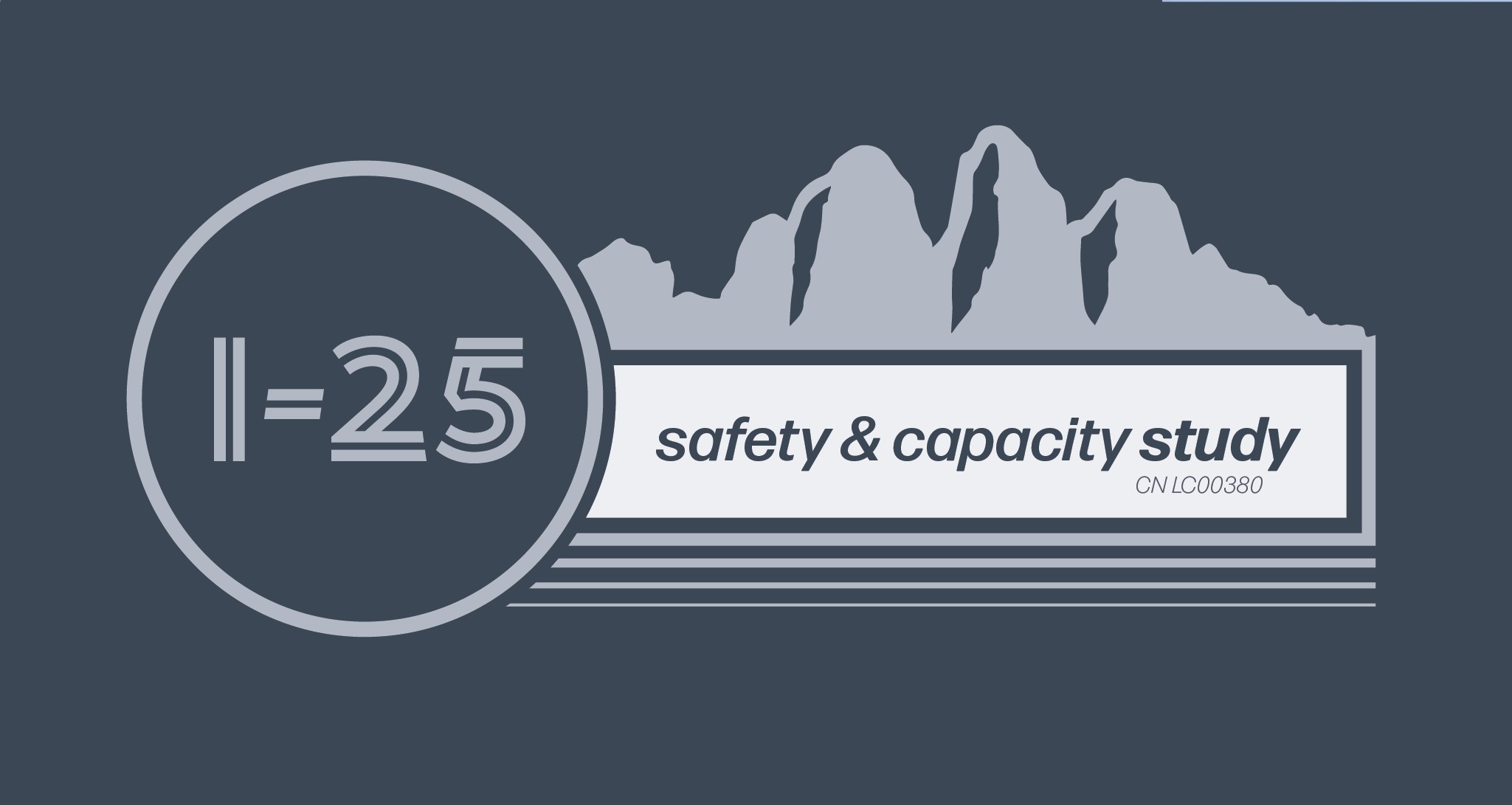
I-25 Safety and Capacity Study between Lohman and Doña Ana Interchanges and NM 320 (Thorpe Road) (CN LC00380) – The purpose of the study is to address safety and capacity needs, including deficiencies with pavement, geometry, access control, drainage management, and Americans with Disability Act facilities.
Status: Construction
I-25 Improved | Comanche to Montgomery (CN A301901) – The NMDOT is improving the I-25 corridor in Albuquerque, between Comanche Road and Montgomery Boulevard, including the freeway, frontage roads, and interchanges. Final project design and construction are anticipated to begin in 2024.
Status: Study & Design
I-25 S-Curve Area Study (CN A302370) – The NMDOT is conducting a Phase B Study along I-25 in the S-Curve area in Albuquerque to explore a transportation solution to improve safety and mobility between Avenida Cesar Chavez (Exit 223) and Lomas Boulevard (Exit 225).
Status: Study & Design
Paseo del Volcan (NM 347) Road Extension Study (CN A301573) – The current study will identify and evaluate alignments, typical sections (lane and shoulder configuration), and intersection alternatives as well as the need for and location of pedestrian and bicycle facilities within the previously identified corridor.
Status: Study & Design
US 60 Mountainair Study (CN 5101350) – A study on US 60 in the Village of Mountainair is underway. Visit the website to learn more about recommended alternatives and to review the supporting documentation.
Status: Study & Design
U.S. 60 Socorro Study (CN 1102050) – The purpose of the study is to evaluate the condition of roadway, traffic, and drainage and assess the features against current standards to determine whether improvements are needed to enhance safety, operations, and multimodal accessibility in the study area.
Status: Study & Design
Direct Connectors Study (CN E100410)- The Direct Connectors I-10 and NM 404 Interchange Study will evaluate the need and anticipated timeframe to warrant the construction of direct connector ramps to allow traffic to flow freely between I-10 and NM 404.
Status: Study & Design
NM 583 Alignment Study (CN 5101470) – A study for NM 583 (S. McCurdy Rd) in Española is underway. The study team is documenting existing conditions and developing potential alternatives for road improvements.
Status: Study & Design
I-40 Corridor Study (CN 6101580) – The I-40 Corridor Study study assessed 150-miles of I-40 and alternate routes between mileposts 0 and 150. This Study documents the process used to identify the preferred alternative for needed improvements to the I-40 corridor.
Status: Study & Design
I-25 Gibson Interchange Reconstruction Project (CN A301890) – The NMDOT is designing transportation improvements to I-25 at the Gibson Blvd interchange and between Sunport Boulevard and Avenida Cesar Chavez in Albuquerque. Improvements will enhance safety and improve efficiency for all modes.
Status: Study & Design
NM 118 Study from Defiance Draw to Rehoboth Dr. (CN 6101400) – A study is being conducted for NM 118 between mileposts 11 and 27. The purpose is to document existing conditions and develop improvement alternatives for the corridor.
Status: Study & Design
NM 17 and US 64 Chama Alignment Study (CN 5100830) – This Study will evaluate intersection and roadway improvements, Americans with Disabilities Act improvements, provision of pedestrian facilities and lighting, drainage improvements, bridge preservation, railroad crossing modifications, signing and striping, and associated work.
Status: Study & Design
NM 264 Alignment Study (CN 6101220) – A study is being conducted for NM 264 between mileposts 0 and 16. The purpose is to document existing conditions and develop highway improvement alternatives for the corridor.
Status: Study & Design
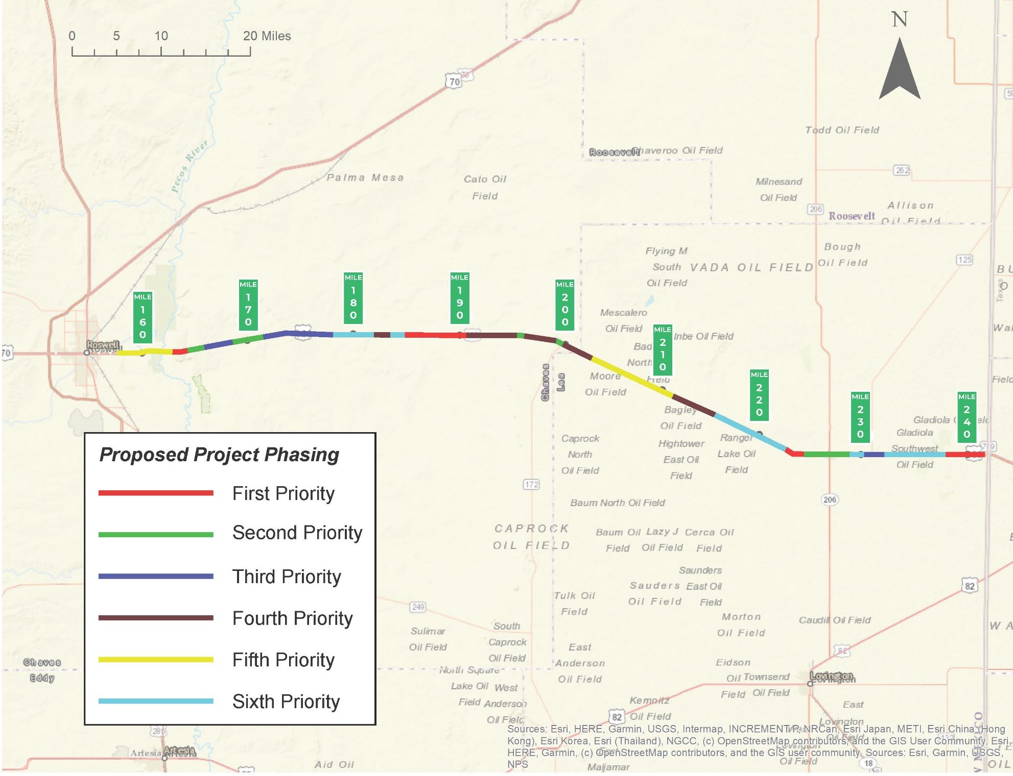
US 380 Phase A/B Study, Roswell to Texas state line (CN 2100740) – A corridor study has been completed that considered roadway improvements to US 380 between Roswell and the Texas state line in southeastern New Mexico. Proposed improvements will include the addition of passing lanes every 7 to 10 miles in each direction by widening the existing roadway, intersection improvements at nine major intersections, and upgrading guardrail and existing pavement conditions.
Status: Construction
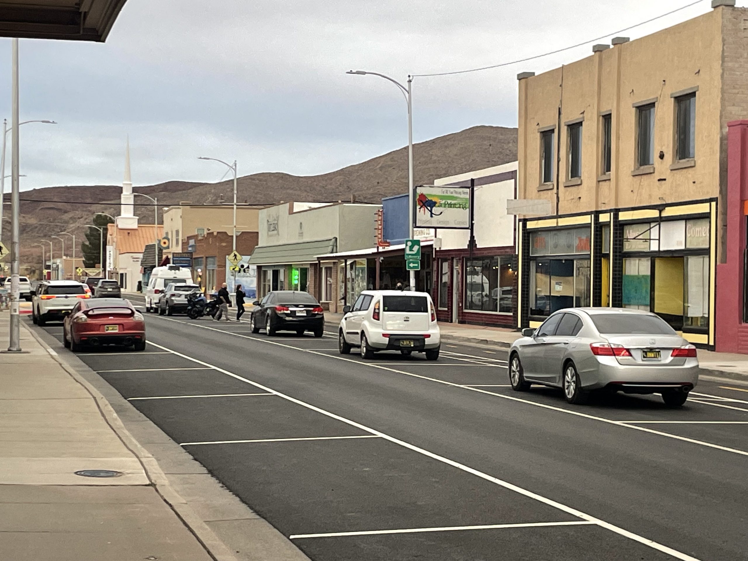
T or C Paving and Road Diet – This effort is focused on infrastructure improvements such as a road diet specifically targeting traffic calming and safety enhancements for all roadway users.
Status: Study & Design
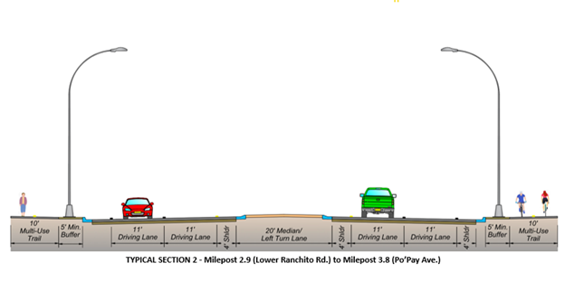
NM 68 Roadway Improvement Project – Phases 1, 2, & 3 (CN 5101460) – A study was completed for the NM 68 corridor in Española between US 84/285 and just north of the Po’Pay Ave intersection in June 2023. The corridor was divided into three phases for design development and construction.
Status: Study & Design
NM 31-128 Road Reconstruction Projects (CN 2104330)- A corridor study was completed in 2022. Improvements are being designed and constructed in phases based on a priority phased implementation plan.
Status: Study & Design
US 180 Phase AB Study, Bayard to Deming (CN 1101840) – A corridor study was recently completed that considered roadway improvements to US 180 between Bayard and Deming. The recommended alternative involves construction of a four-lane roadway for the entire corridor from Bayard to Deming. The corridor was divided into three phases for design development and construction. Currently, Phase 1 from Bayard to Hurley is in construction, and Phases 2 and 3 are in design development.
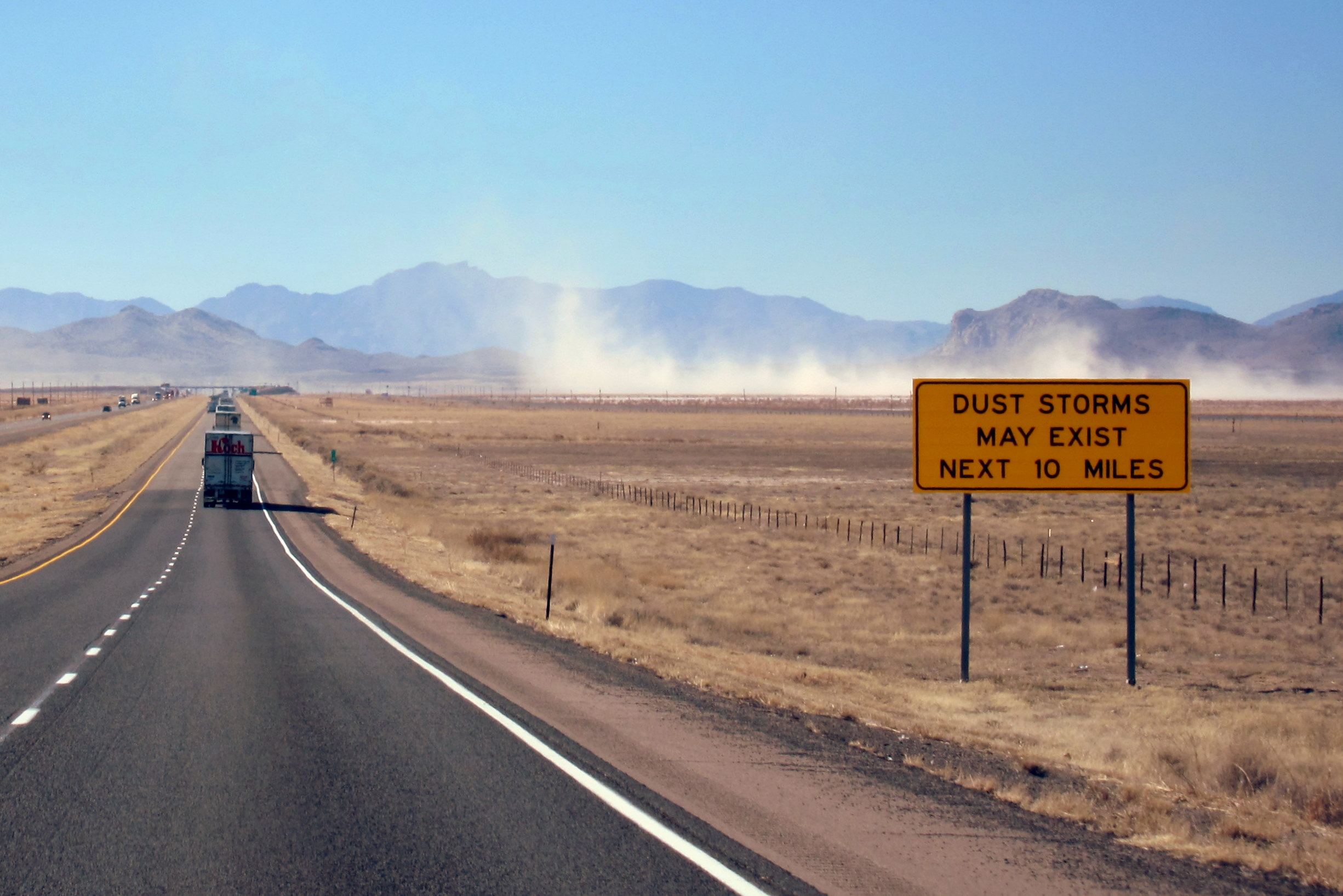
Status: Special Program
Dust Storm Mitigation – NMDOT Environmental, with support from the Federal Highway Administration, is currently working to mitigate point sources of dust in southwest New Mexico affecting operations on I-10 and U.S. 180.

Status: Special Program
NM Wildlife Corridors Action Plan – New Mexico took an important step to ensure that wildlife species and the connectivity of their habitats are best protected with the passage of the 2019 NM Wildlife Corridors Act. The NM Wildlife Corridors Action Plan was developed jointly by the NMDOT, the NMDGF, and a research team.