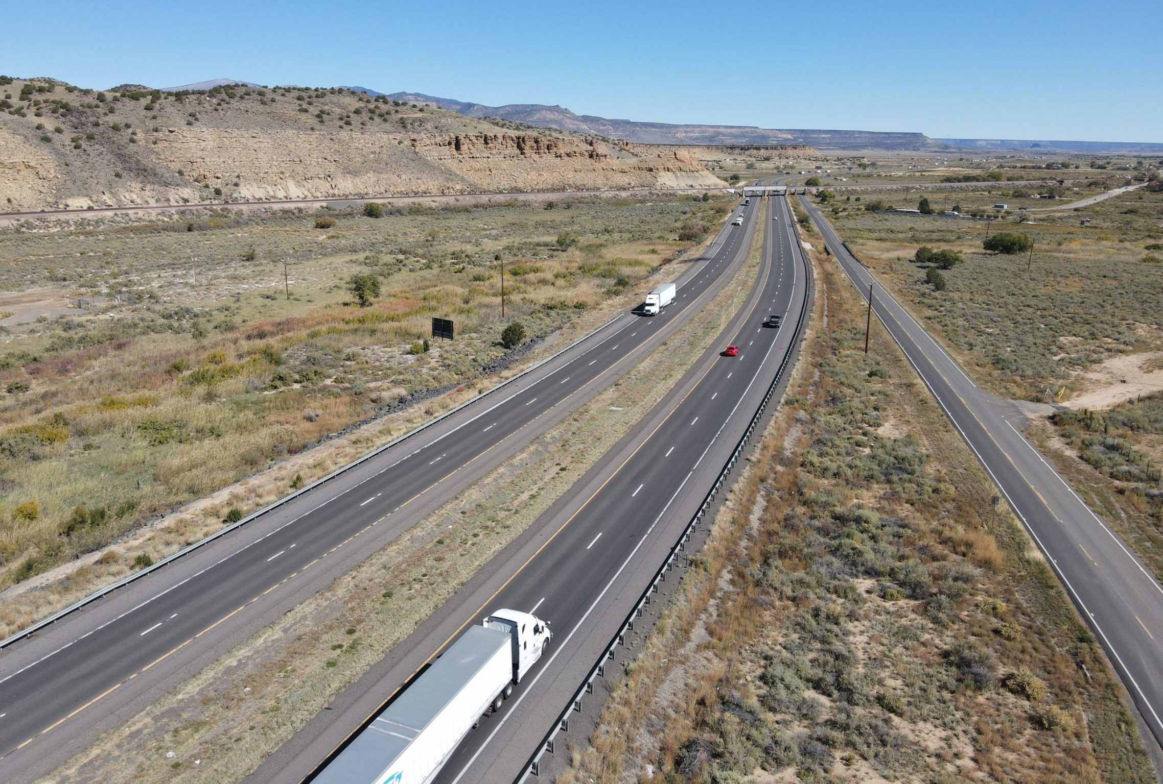
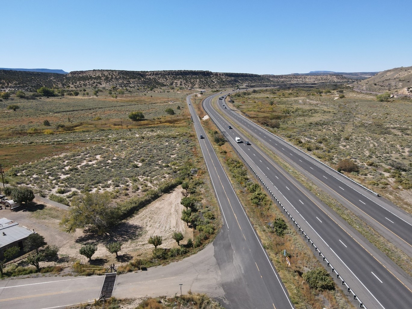
Interstate 40 Corridor Study
from the Arizona State Line to the Atrisco Vista Interchange in Albuquerque, milepost 0 to 150
NMDOT Control No. 6101580
STUDY OVERVIEW
WHAT WAS THE PURPOSE OF THE STUDY?
The New Mexico Department of Transportation (NMDOT) completed a highway corridor study of Interstate 40 (I-40) from the Arizona State Line to the Atrisco Vista Interchange in Albuquerque, New Mexico. The I-40 Corridor Study study assessed 150 miles of I-40 and alternate routes between mileposts 0 and 150 (Figure 1). The I-40 Corridor Study documents the process used to identify the preferred alternative for needed improvements to the I-40 corridor consistent with the NMDOT’s Location Study Procedures. The I-40 Corridor Study:
- Identifies and evaluates the conditions that may require improvements between now and 2050.
- Identifies and evaluates improvement options.
- Identifies the preferred alternative for improvements to accommodate expected growth and improve traffic operations and reliability; traveler safety; and the condition of I-40 and associated infrastructure.
Figure 1. Map of the I-40 corridor study area limits.
(Click to enlarge the map)
Counties
McKinley
Cibola
Bernalillo
Districts
3 and 6
STIP Number
Status
Study and Design
Contact
Summer Herrera
Project Development Engineer
(505) 259-2140
STUDY FINDINGS
WHAT WERE THE KEY FINDINGS?
-
Roadway Capacity and Growth
In most areas, I-40 with 2 travel lanes in each direction will have sufficient capacity through 2050. A third lane will be needed in Gallup and on several isolated steep grades. In addition, there are multiple interchange on- and off-ramps that will need to be lengthened to meet 2050 capacity needs and to address geometric deficiencies. While 2 lanes are expected to be sufficient in most areas until 2050, it is critical that NMDOT improve data collection and monitor traffic and truck volumes to confirm that I-40 capacity with 2 lanes remains sufficient over time. The preferred alternative has been developed to allow NMDOT to easily expand I-40 to 3 lanes when it becomes warranted.
-
Operations and Reliability
Traffic backups on I-40 are caused by construction, maintenance, and crashes, not recurring congestion from high traffic volumes. Backups typically occur on I-40 when it is reduced to 1 lane during daytime hours (specifically, when traffic volumes exceed about 1,500 vehicles per hour in a single direction). This is a very important finding of the study. Specifically, it drives recommendations to:
Maintain 2 lanes during construction.
Maintain 2 lanes during maintenance activities, where feasible. Specifically, this means considering conducting maintenance activities that require lane closures to nighttime or off-peak hours and days.
-
Safety
Fatal and serious injury crash rates are higher than state averages. I-40 has multiple interchange ramps that need to be extended and horizontal and vertical curves that need corrections.
-
Roadway and Infrastructure Condition
Pavement needs to be improved, several bridges need repair or replacement, and many drainage structures need to be expanded or repaired.
-
Other I-40 Needs
Other supporting improvements to Intelligent Transportation System (ITS), incident management, and alternate routes are needed to maintain or improve operations in the I-40 corridor.
PREFERRED ALTERNATIVE
Figure 3. Enhanced 2-Lane with Added Lanes
(Click on image to enlarge)
The preferred alternative is the Enhanced 2-Lane with Added Lanes. It includes the following features:
- Widening the inside and outside shoulders of I-40 to 12 feet while maintaining two travel lanes in each direction, as illustrated in Figure 3 and demonstrated Video 1.
- The wider shoulders will enhance incident management, as shown in Video 2.
- This configuration will also allow us to maintain two lanes during construction and maintenance activities, as depicted in Video 3.
- Interchange ramps would be lengthened to meet current design guidelines and address capacity constraints as shown in Video 4.
Video 1. I-40 Lane Configurations Simulation
Widening the inside and outside shoulders of I-40 to 12 feet while maintaining two travel lanes in each direction.
Video 2. I-40 Incident Management Simulation
The wider shoulders will enhance incident management.
Video 3. I-40 Maintenance Simulation
This configuration allows maintenance of two lanes during construction and maintenance activities.
Video 4. I-40 Ramp Simulation
Interchange ramps would be lengthened to meet current design guidelines and address capacity constraints.
ADDITIONAL FEATURES
- Needs related to curves, bridges, pavements, and drainage would be addressed.
- Crossovers would be constructed to allow snowplows and emergency vehicles to reverse directions on I-40. These crossovers would also provide a pathway for law enforcement to facilitate vehicle crossings from one side of I-40 to the other, helping to keep traffic moving in the event of a crash that requires the closure of one direction of the interstate.
- To address future roadway capacity constraints on I-40 in Gallup, we would build auxiliary lanes or a third lane for up to 10 miles, specifically at the interchanges located between mileposts 16 and 26 in Gallup. In addition, a truck climbing lane would be added on isolated steep grades at five locations as shown in Figure 4.
OPERATIONAL ENHANCEMENTS
The preferred alternative also includes the following operational enhancements to address I-40 Corridor needs:
Intelligent Transportation System (ITS) Improvements –
ITS technologies augment traditional roadway infrastructure by integrating advanced communications technologies to improve transportation operations, efficiency, and reliability. Proposed ITS improvements for I-40 include:
- Data Collection Stations – Upgrade existing data collection systems on I-40 and add additional stations.
- Cameras, Messaging Signs, and Weather Information Systems – NMDOT currently has 9 cameras, 5 messaging signs, and 2 weather information systems that provide real-time information to drivers on I-40. Existing messaging signs would be replaced and additional cameras are proposed.
- Fiber Optic Communications Network – Expanding the existing 25-mile fiber optic network to the entire 150-mile corridor is proposed to connect ITS devices and improve the information provided to travelers
- District 6 Traffic Management Center – Development of a Traffic Management Center in District 6 is proposed to enable remote ITS operations and management and to coordinate with key stakeholders such as police, state patrol, and emergency services.
- Truck Parking Availability System – This system would provide information on available truck parking at corridor rest stops.
Minimize Lane Closures during Construction and Maintenance –
This includes developing and implementing approaches to minimize disruptions to traffic during construction and maintenance activities such as:
- Maintaining 2 travel lanes on I-40 in each direction during construction.
- Developing and implementing policies to maintain 2 travel lanes on I-40 as much as possible during daytime hours. This may include doing maintenance during nighttime or off-peak hours when 2 travel lanes cannot be maintained.
Improve Alternate Routes –
This includes improving existing frontage roads adjacent to I-40 by:
- Repairing or replacing bridges and pavement on existing routes, where needed.
- Considering the removal of constraints for trucks on existing alternate routes located near milepost 8.4 on NM 118 west of Gallup and milepost 90.6 on NM 124 east of Grants.
Improve Incident Management –
Widening roadway shoulders on I-40 will improve the ability of emergency responders to respond to incidents and get traffic moving. NMDOT will continue to work with the legislature and law enforcement to enhance incident management through improved coordination and training and supporting incident response.
STUDY RESOURCES
The I-40 Corridor Study and supporting appendices can be downloaded from the following links:
I-40 Phase I-A/B Corridor Study Executive Summary
I-40 Phase I-A/B Corridor Study
I-40 Phase I-A/B Corridor Study Appendices:
Appendix A: I-40 Highway Operations Improvement Plan
Appendix B: Environmental Scoping Report
Appendix C: Ramp Turning Movement Counts
Appendix D: Geometrics
Appendix E: Geotechnical Scoping Report
Appendix F: Bridges
Appendix G: Drainage
Appendix H: Utilities
Appendix I: I-40 Existing Typical Sections
Appendix J: I-40 Proposed Typical Sections
Appendix K: I-40 Conceptual Alternatives
Appendix L: I-40 Interchange Layouts
Appendix M: Alternate Routes
Appendix N: Preliminary Costs
Appendix O: Public Meeting #1 Summary
Appendix P: Public Meeting #2 Summary
Appendix Q: Public Meeting #3 Summary
Appendix R: Stakeholder Outreach
NEXT STEPS
ARE IMPROVEMENTS BEING MADE?
The NMDOT has several improvement projects currently underway on I-40. These projects will continue to progress, and NMDOT is actively seeking funding for additional enhancements identified in the I-40 Corridor Study.
Please note that the information provided here only pertains to projects that NMDOT is leading on I-40 and is subject to change based on available funding. It does not include initiatives led by other agencies or projects on adjacent frontage roads.

For the most up-to-date information, please visit NMDOT’s Statewide Transportation Improvement Program (STIP) and search using the Control Number (CN) listed in the accompanying list.
ONGOING PROJECTS LISTED by control number and project name:
6101600 – I-40/NM 118 Bridge Clearance Study and Design, MP 7.9 to 8.9
6100849 – I-40 Bridge Replacements, MP 8.7 to 9.7
6101510 – Bridge Rehabilitation, I-40 Exit 16 in Gallup. MP 15.5 to 17.5
6100931 – I-40 Reconstruction, MP 17.97 to 21.99
6101390 – I-40/ US 491 Interchange Study, Exit 20
6101391 – I-40/ US 491 Interchange Reconstruction, Exit 20
6100932 – I-40 Rehabilitation, MP 22.1 to 25.7
6101320 – Miyamura Interchange Reconstruction, Exit 22
6101151 – Drainage Improvement, Part 1, I-40 and NM 118 Bridge Replacements
6101500 – I-40 Bridge Rehabilitation (4 bridges)
6101152 – Drainage Improvement Part 2, Replace I-40 Culverts and Raise NM 118, MP 30.1 to 31.1
6101153 – Drainage Improvement Part 3, Build Sediment Basins, MP 31.6 to 33.7
6101154 – Drainage Improvement Part 4, Replace 2 Bridges, MP 34.5 to 35.5
6101155 – Corridor Drainage Improvement Part 5, Replace Culverts, MP 35
6101156 – Corridor Drainage Improvement, Part 6, Build Sediment Basins, MP 36.3
U900623 – Add Electric Vehicle Charging Station near I-40 Exit 39 Refinery
6101581 – I-40 Widening Construction Phase I, MP 41.9 to MP 44.8
6101551 – Bridge Deck Rehabilitation, for I-40 Overpass. MP 76
6101550 – Bridge Deck Rehabilitation, for 2 I-40 Overpasses. MP 72.2 and 85.1
6100838 – I-40 Bridge Replacement for 2 Bridges. MP 105.9 to 106.4
6100843 – Replace I-40 Overpass Bridge 6122/FR-4012. . MP 119.3
6101630 – I-40 Repair 2 Bridges. MP 121.8 and 121.9


